Search -
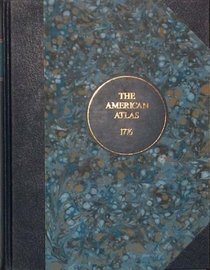
The American Atlas
The American Atlas
Author:
The American Atlas was first published in 1776 in London, and consisted of twenty-nine maps made by one of the most renowned cartographers of the day, Thomas Jefferys. To celebrate the American Bicentennial in 1976, Nottingham Court Press produced a facsimile of the American Atlas, limited to 200 copies. The company ceased trading, and a forgott... more »
ISBN-13: 9781843830320
ISBN-10: 1843830329
Publication Date: 6/1/2003
Pages: 126
Edition: Limited
Rating: ?
ISBN-10: 1843830329
Publication Date: 6/1/2003
Pages: 126
Edition: Limited
Rating: ?
0 stars, based on 0 rating
Genres:
- History >> Americas
- Reference >> Atlases & Maps >> Atlases & Gazetteers
- Science & Math >> Earth Sciences >> Geography >> Historic
- Engineering & Transportation >> Architecture >> General


