Search -
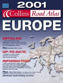
Collins Road Atlas, Europe, 2001
Collins Road Atlas Europe 2001
Author:
The area covered by this atlas stretches from the North Cape to Gibraltar and from Ireland to Western Turkey. It contains clear, easy to follow road maps produced from the digital database at a scale of 1:1 000 000 (16 miles to 1 inch). The euroroutes and motorways can easily be distinguished. International road classifications, road distances i... more »
ISBN-13: 9780004491202
ISBN-10: 0004491203
Pages: 131
Edition: Revised
Rating: ?
ISBN-10: 0004491203
Pages: 131
Edition: Revised
Rating: ?
0 stars, based on 0 rating
Publisher: HarperCollins Publishers
Book Type: Hardcover
Members Wishing: 1
Reviews: Amazon | Write a Review
Book Type: Hardcover
Members Wishing: 1
Reviews: Amazon | Write a Review
Genres:


