Search -
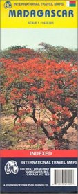
ITMB Madagascar Map
ITMB Madagascar Map
Author:
Road and travel map in color. Locates national parks, rivers, streams/creeks, intermittent streams, swamps / wetlands / mangroves, and salt pans. Differentiates five levels of roads from primary paved roads to tracks and includes road numbers. International and national airports and aerodromes / landing fields. Ports, ferries, gas / petrol... more »
ISBN-13: 9781553413059
ISBN-10: 1553413059
Publication Date: 2/2004
Rating: ?
ISBN-10: 1553413059
Publication Date: 2/2004
Rating: ?
0 stars, based on 0 rating
Genres:
- Travel >> Africa >> Madagascar & Comoros


