Search -
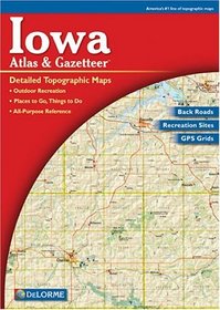
Iowa Atlas Gazetteer (Iowa Atlas Gazetteer)
Iowa Atlas Gazetteer - Iowa Atlas Gazetteer
Rely on the Iowa Atlas & Gazetteer for the utmost in trip planning and backcountry access. Contains topographic maps with unbeatable detail, plus gazetteer information on great places to go and things to do. Scale equals 1:200,000 or 1"=3.2 miles. Contour Interval is 120'. Each page covers 35.1 miles x 44 miles with GPS Grids and tick marks. ... more »
Rely on the Iowa Atlas & Gazetteer for the utmost in trip planning and backcountry access. Contains topographic maps with unbeatable detail, plus gazetteer information on great places to go and things to do. Scale equals 1:200,000 or 1"=3.2 miles. Contour Interval is 120'. Each page covers 35.1 miles x 44 miles with GPS Grids and tick marks. ... more »
ISBN-13: 9780899333366
ISBN-10: 0899333362
Publication Date: 3/1/2001
Rating: ?
ISBN-10: 0899333362
Publication Date: 3/1/2001
Rating: ?
0 stars, based on 0 rating
Publisher: Delorme Mapping Company
Book Type: Paperback
Members Wishing: 1
Reviews: Amazon | Write a Review
Book Type: Paperback
Members Wishing: 1
Reviews: Amazon | Write a Review
Genres:
- Travel >> United States >> Regions >> General


