Search -
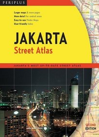
Jakarta Street Atlas Second Edition
Jakarta Street Atlas Second Edition
Author:
This easy-to-read 383-page street atlas of Jakarta, Indonesia, details the central city at 1:10,000 to 1:20,000 scale (6.3 inches per mile to 3.2 inches per mile). Other areas are shown at 1:100,000 scale (1.58 miles per inch). Roads are color-coded, and important buildings are identified by name. Airports, expressways, bus terminals, car parks,... more »
ISBN-13: 9780794600853
ISBN-10: 0794600859
Publication Date: 12/2/2008
Pages: 384
Edition: 2
Rating: ?
ISBN-10: 0794600859
Publication Date: 12/2/2008
Pages: 384
Edition: 2
Rating: ?
0 stars, based on 0 rating
Genres:
- Reference >> Atlases & Maps >> World
- Travel >> Asia >> Indonesia >> Jakarta
- Travel >> Travel Writing


