Search -
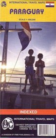
Paraguay Map (Travel Reference Map)
Paraguay Map - Travel Reference Map
Author:
Folded travel and road map in color with eastern Paraguay on one side and the western portion on the other. Index of populated areas. Colors show elevations. Legend in English and Spanish. The map distinguishes international boundaries, highways, paved roads, unpaved roads, and tracks. Shows national parks and natural reserves with color sha... more »
ISBN-13: 9781553413639
ISBN-10: 1553413636
Publication Date: 9/1/2003
Pages: 2
Rating: ?
ISBN-10: 1553413636
Publication Date: 9/1/2003
Pages: 2
Rating: ?
0 stars, based on 0 rating
Genres:


